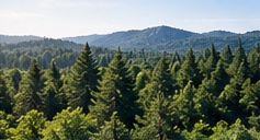

FOREST
Sustainable forest intelligenceMonitor forest health, fire risk, environmental conditions and operational activity through integrated aerial, ground and geospatial intelligence.
Learn more →
RAVAM applies one intelligence architecture across forests, agriculture, pipelines, exploration, grid and energy infrastructure, and critical infrastructure—configuring the field systems, sensors and analytics around each mission.
Explore Our Solutions →Monitor forest health, fire risk, environmental conditions and operational activity through integrated aerial, ground and geospatial intelligence.
Learn more →
Combine crop, soil, weather and field observations to support better planning, treatment decisions and more resilient agricultural operations.
Learn more →
Start with non-contact corridor survey and scale into GIS baselines, digital twins, targeted verification, continuous monitoring and operator decision support.
Learn more →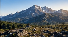
Integrate geophysics, remote sensing, geology and AI-assisted interpretation to prioritize exploration targets for field verification and geological assessment.
Learn more →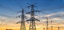
Continuously inspect electric-grid corridors, combine asset and vegetation intelligence, prioritize wildfire and operational risk, verify follow-up work and preserve traceable evidence.
Learn more →
Monitor generation, renewable and distributed energy assets through integrated aerial, thermal, geospatial and operational intelligence for inspection, condition awareness and maintenance planning.
Learn more →
Build a coherent operational picture across strategic sites, transport, utilities and industrial infrastructure without forcing one technology stack.
Learn more →Start with the mission. We define the data, field systems, analytics and integration path around the operational objective.