
UAV Geophysics
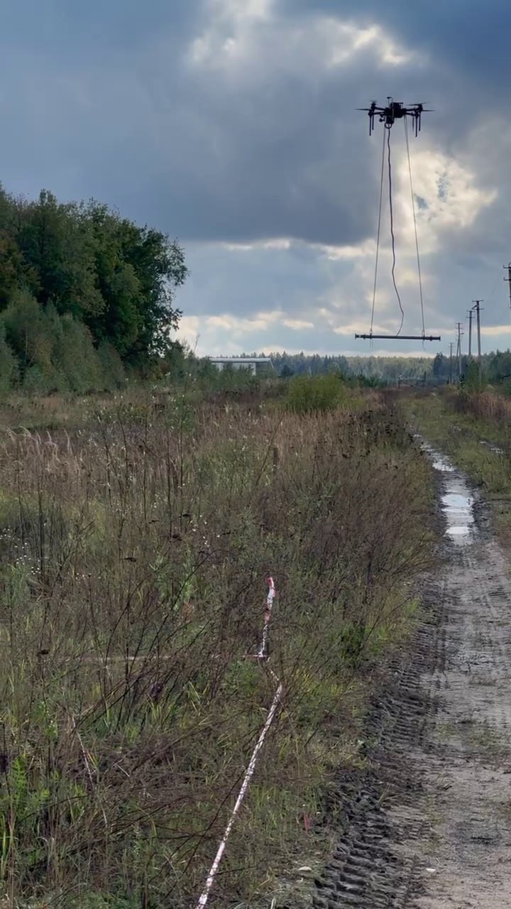
Rapid field acquisition using mission-selected suspended sensors.
UAV geophysics, controlled acquisition and AI-assisted interpretation—delivered as technical evidence exploration teams can review, compare and act on.
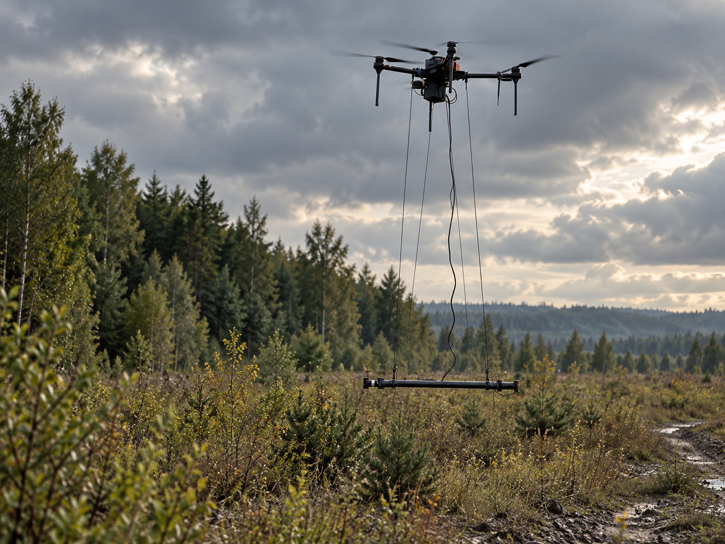
Rapid field acquisition using mission-selected suspended sensors.
Structured, repeatable acquisition designed around terrain and target depth.
Pattern screening, anomaly context and prioritization for specialist review.
Follow-up workflows that connect interpreted evidence back to the ground.
RAVAM is engaged in an active national-scale geophysical interpretation program for a government client. The work brings field-acquired geophysical data into a dedicated AI interpretation environment for predictive subsurface modeling, 3D geological context and digital-twin workflows.
Customer identity, jurisdiction and sensitive program details remain confidential.
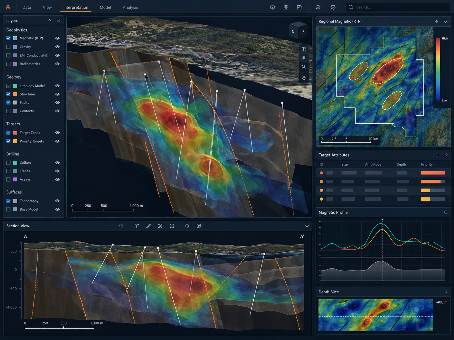
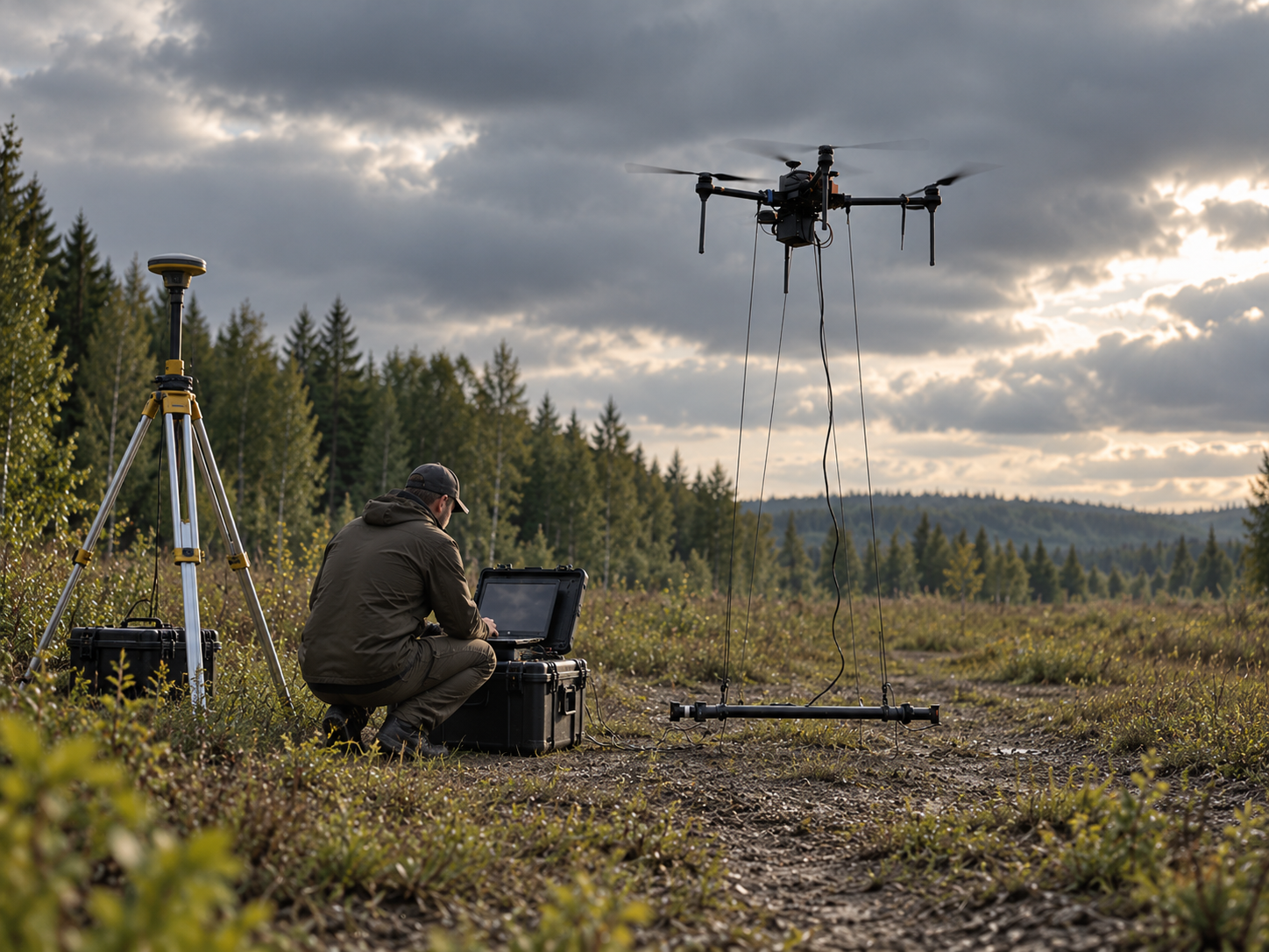
The aircraft is only one part of the solution. Survey design, sensor integration, geodetic control, processing discipline and technical interpretation determine whether the resulting data is useful.
Capture structured geophysical observations using UAV-enabled field operations.
Clean, geo-reference, correct and organize data for technical analysis.
Combine geophysics, terrain, geology and AI-assisted pattern screening.
Rank areas of interest using the evidence behind each target.
Focus mapping, sampling and field follow-up on selected targets.
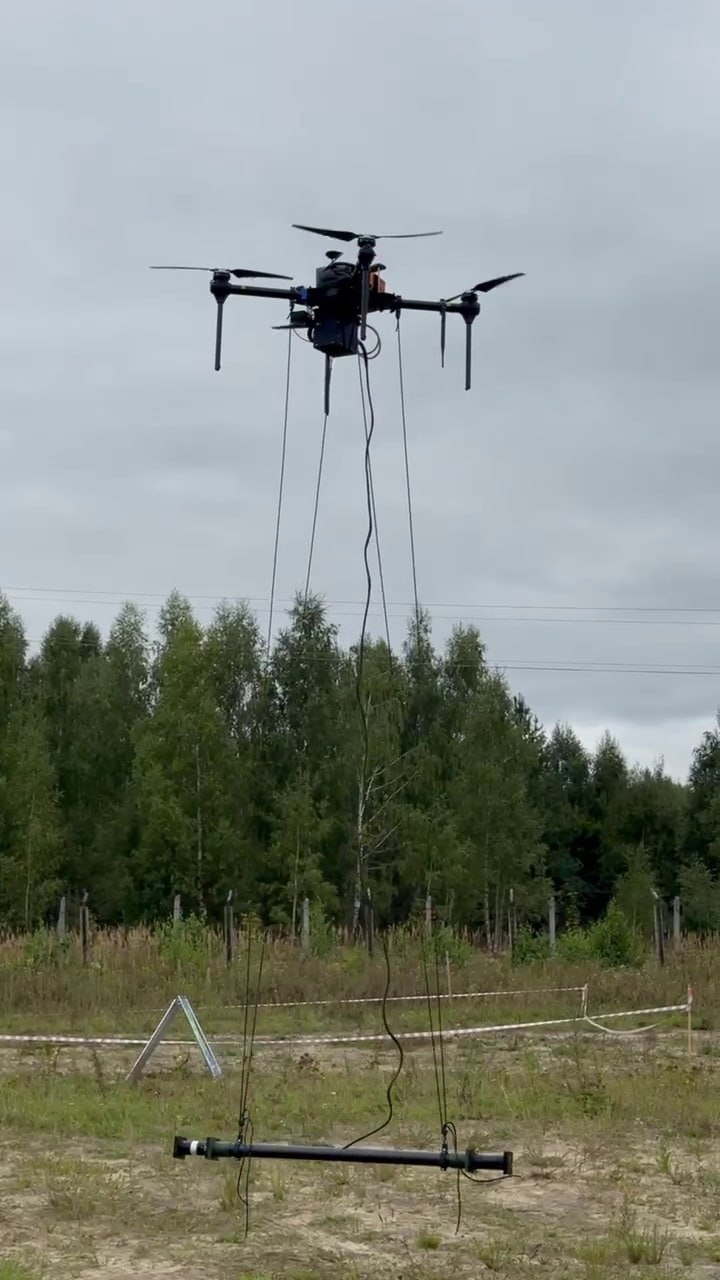
UAV-supported survey methods can extend reconnaissance into areas where conventional access is less practical. RAVAM combines field planning, sensor integration and technical interpretation rather than treating the aircraft as the product.
RAVAM structures the program so specialists can work with field measurements in context rather than as isolated maps.
Total-field and related magnetic products for structural and lithological contrast.
Mission-selected EM and semi-airborne methods where conductivity response is relevant.
Subsurface modeling and inversion where data quality and program design support it.
Terrain, geology, imagery and historical information integrated into the interpretation environment.
RAVAM documents the path from acquisition through processing and interpretation so customers and their qualified specialists can understand how each result was produced.
Survey geometry, sensor configuration, positional control and field conditions are documented with the acquisition record.
Corrections and processing steps are recorded so technical reviewers can follow the sequence applied.
Priority areas remain linked to the supporting layers, assumptions and confidence used during interpretation.
RAVAM prepares acquisition, processing and interpretation records so responsible Qualified or Competent Persons can review the technical basis of the work in the reporting framework applicable to the project.
| Reporting context | Framework | RAVAM role |
|---|---|---|
| Public disclosure, Canada | NI 43-101 | Provide survey data, processing records and interpretation in a form a Qualified Person can review and rely on. RAVAM does not author the technical report. |
| Public disclosure, Australasia | JORC Code | Support the Competent Person with traceable acquisition, processing and interpretation records. |
| Exploration results reporting | CRIRSCO-aligned national codes | Structure documentation so reported results can be linked to their acquisition and processing parameters. |
| Government resource mapping | Client / national survey standards | Configure acquisition, QA/QC and deliverable formats against the authority's agreed specification. |
Important: Reference to these frameworks does not imply certification or automatic compliance. Applicability and acceptance are confirmed per program with the client and the responsible Qualified or Competent Person.
Exact outputs depend on the survey method and program stage. The objective is always a technically usable package, not simply imagery.
Use cases vary by geology, terrain and exploration stage.
Geophysical and remote-sensing evidence identifies areas of interest. Confirmation requires geological interpretation, field verification, sampling and the appropriate technical and economic assessment.
Tell us the target type, terrain, program stage and what the next field decision depends on. We will structure the acquisition and interpretation workflow around it.