Autonomous systems · Real-world data · Practical decisions.
Intelligence
for the Physical World.
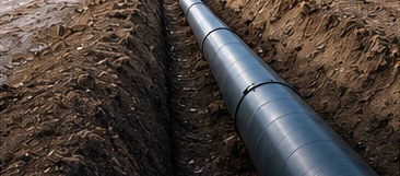
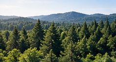
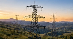
RAVAM connects aerial and ground systems, multi-sensor data, AI and geospatial intelligence to solve complex challenges across forests, agriculture, infrastructure and energy.




From data in the field
to decisions that matter.
to decisions that matter.
Our Approach
Field Reality.
Actionable Intelligence.
We operate at the intersection of geophysics, environmental science, AI and autonomous systems. Our solutions combine aerial and ground data with advanced analytics to deliver reliable, decision-ready information for real-world operations.
Multi-sensorData acquisition
AI-poweredAnalysis
GIS-readyOutputs
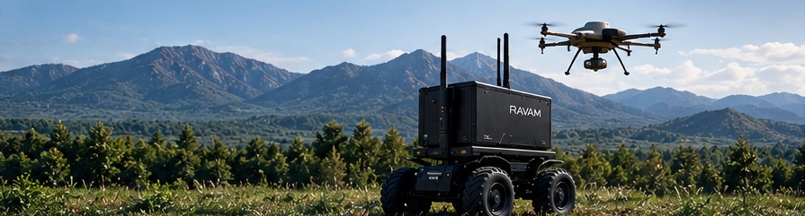
See From Above.
Act From The Ground.
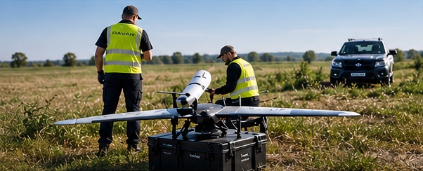
RAVAM integrates autonomous aerial and ground systems for a complete operational view—from wide-area mapping to on-site verification and targeted intervention.
Explore RAVAM AIR™ and GROUND™ →Latest Insights