
 FOREST MONITORINGHealth, fire intelligence & environmental observation
AUTONOMOUS. VERSATILE. MISSION READY.
RAVAM AIR™
Autonomous Systems Built Around the Mission.
RAVAM AIR™ is the aerial intelligence layer of the RAVAM ecosystem—connecting mission-appropriate UAV platforms, sensors and autonomous data acquisition with the RAVAM AI Platform.
MISSION-DEFINEDThe operational question determines aircraft and payload.
MULTI-SENSORRGB, thermal, LiDAR, multispectral, hyperspectral and geophysical sensing.
AUTONOMOUSRepeatable workflows where site and regulation permit.
OPEN ARCHITECTUREIntegrate suitable platforms rather than depend on one manufacturer.
ONE AERIAL INTELLIGENCE LAYER
Different Missions. Different Aircraft. One RAVAM Architecture.
FOREST MONITORINGHealth, fire intelligence & environmental observation INFRASTRUCTURE INSPECTIONCorridors, structures & strategic assets
 AGRICULTURECrop intelligence, mapping & targeted operations
 INDUSTRIAL INSPECTIONFacilities, energy assets & complex sites
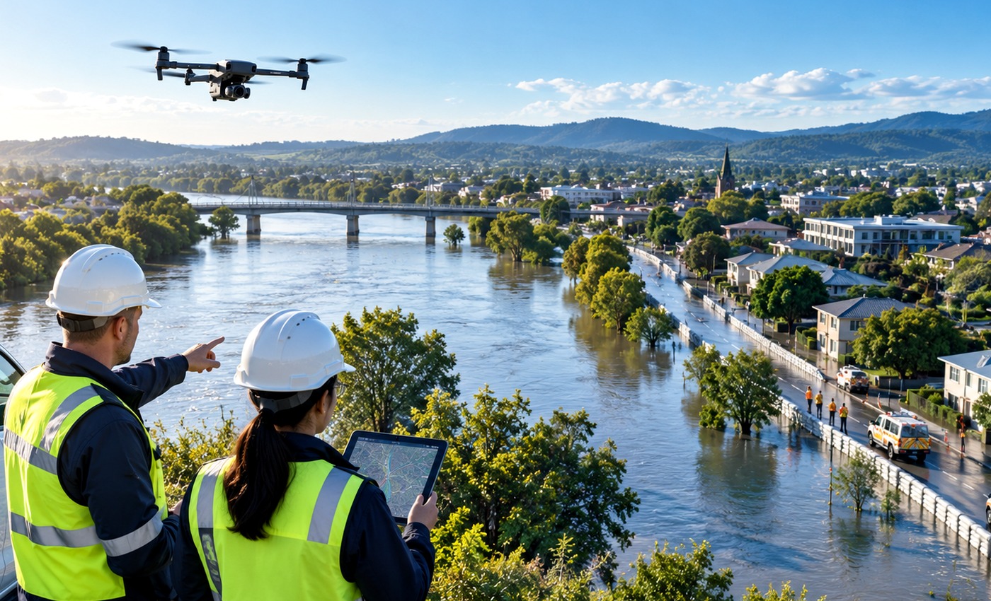 SEARCH & RESPONSEAerial awareness supporting field teams
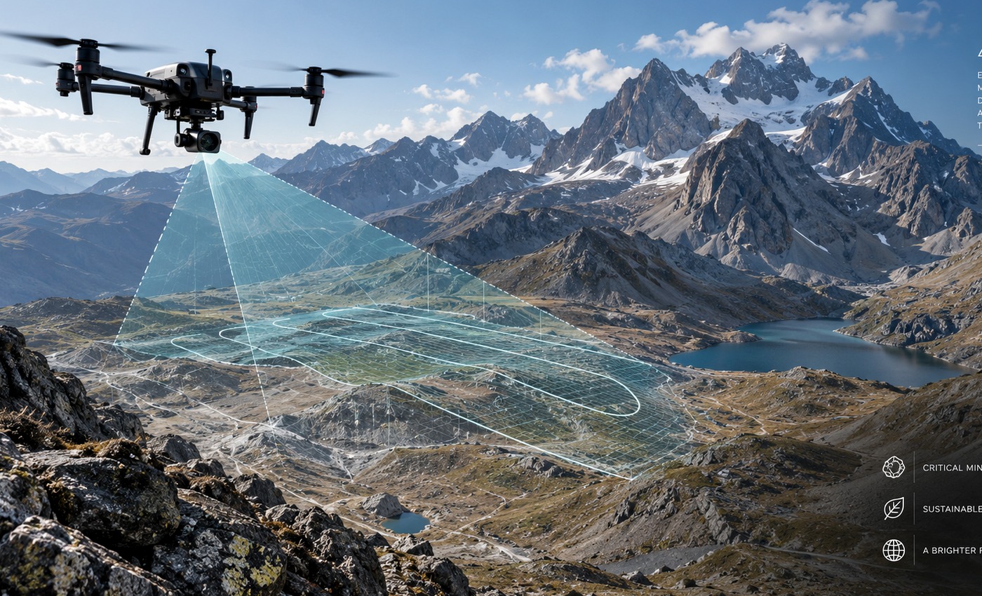 MAPPING & SURVEYINGGeospatial acquisition & terrain intelligence
PLATFORM CLASSES
The Mission Defines the Technology.
RAVAM AIR is not one aircraft. Selection depends on range, endurance, payload, terrain, operating environment and regulatory requirements.
MULTIROTORPrecision and close-range missionsVTOLFlexible launch with broader coverageFIXED-WINGLong-corridor and area missionsSPECIALIZED UAVMission-specific payload and operating needs
CONNECTED CAPABILITIES
From Aircraft to Intelligence.
RAVAM AIR connects aerial acquisition with sensing, analytics, autonomy and coordinated operations.






MISSION CYCLE
PLAN → LAUNCH → ACQUIRE → RETURN → LEARN
Each mission adds structured information to the operational record and can inform the next mission.
01PLANDefine the mission, aircraft and payload.
02LAUNCHBegin the approved autonomous or assisted mission.
03ACQUIRECollect mission data across the operating area.
04RETURNRecover safely and transfer the mission record.
05LEARNTurn observations into insight for the next mission.
RAVAM ECOSYSTEM
The aircraft is one part of the architecture. Field infrastructure, intelligence and command complete the operational loop.
RAVAM AIR™