

Ideas for Understanding the Physical World.
RAVAM Insights explores the technologies, scientific methods and operational questions behind autonomous systems, geospatial intelligence, geophysics and AI-enabled decision support.
Evidence before claims.
This is not a generic company blog. Insights is RAVAM's knowledge and credibility layer: a place to explain how technologies work, where they are useful, what their limits are, and how multiple disciplines can be combined responsibly in real-world operations.
From the Field.
These themes establish the editorial direction. We will publish substantive articles and technical notes only when the underlying material is ready—no invented customer stories, deployment claims or publication dates.
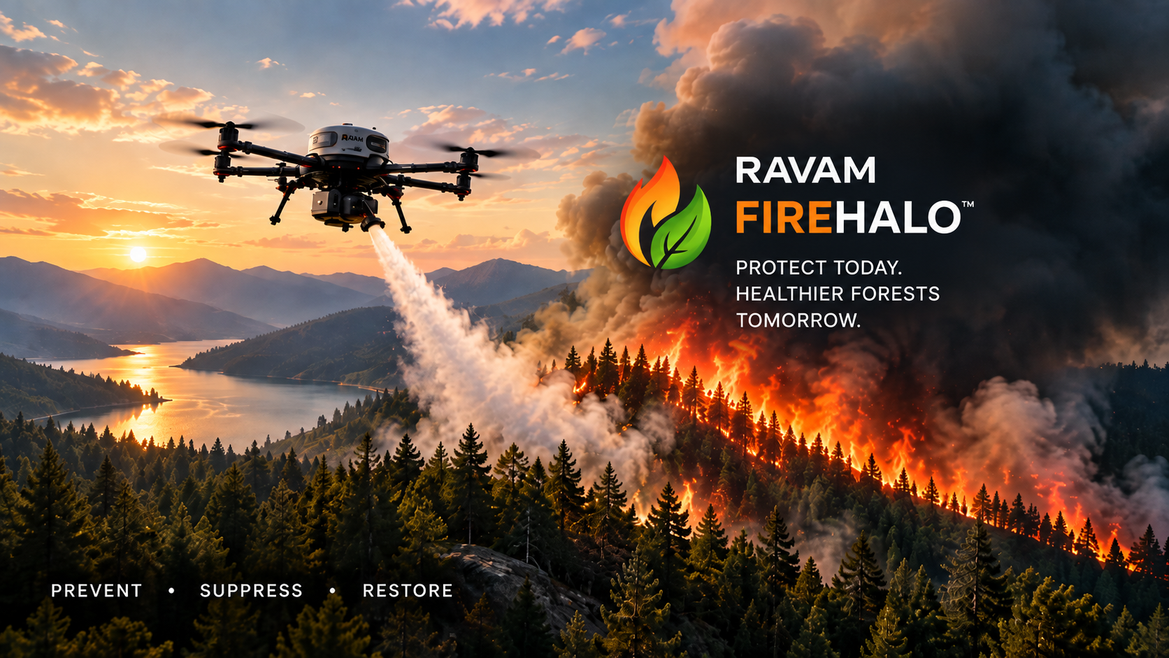
AI and Remote Sensing for Forest Health
How aerial observations, environmental sensing and geospatial context can support a more complete understanding of forest conditions.

Detecting Underground Pipelines with UAV Magnetometry
Understanding corridor screening, anomaly interpretation and the role of targeted verification.
Data-Driven Agriculture for More Resilient Operations
Connecting field observations, soil, weather and crop data to better operational decisions.
Six knowledge domains. One physical world.
Credibility is part of the technology.
RAVAM technical communication should distinguish observation from interpretation, screening from confirmation, analytical output from ground truth, and future capability from deployed capability. That discipline matters when technology supports infrastructure, environmental and institutional decisions.

Have a Mission Worth Exploring?
Talk to RAVAM about the operational question. We can define the sensing, data and intelligence architecture around it.