
ROUTINE
Scheduled patrols
Observe right-of-way condition, access, vegetation, surface change and visible third-party activity.
RAVAM connects scheduled autonomous patrols, field infrastructure, sensor observations and enterprise context into one operator-controlled monitoring workflow.

The monitoring layer is configured around corridor risk, operating conditions, available communications and the operator's existing inspection and emergency procedures.
Observe right-of-way condition, access, vegetation, surface change and visible third-party activity.
Direct appropriate payloads or field teams toward locations identified by records, alerts or previous surveys.
Collect current visual, thermal or gas-sensor evidence following an operator-defined trigger.
Repeat controlled corridor measurements to identify material change against the established baseline.
RAVAM supports acquisition, correlation and prioritized reporting. The operator retains control of dispatch, maintenance, isolation and safety-critical decisions.
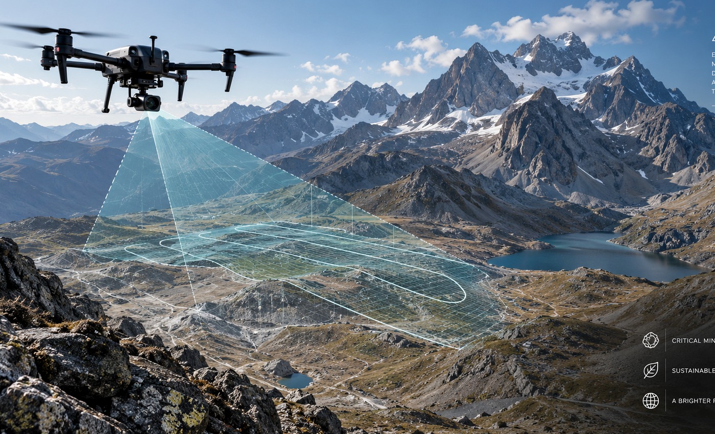
Mission-selected aircraft and payloads for scheduled patrol, targeted inspection and verification.
EXPLORE AIR →
Charging, weather, communications, edge processing, security and remote diagnostics.
EXPLORE NEST →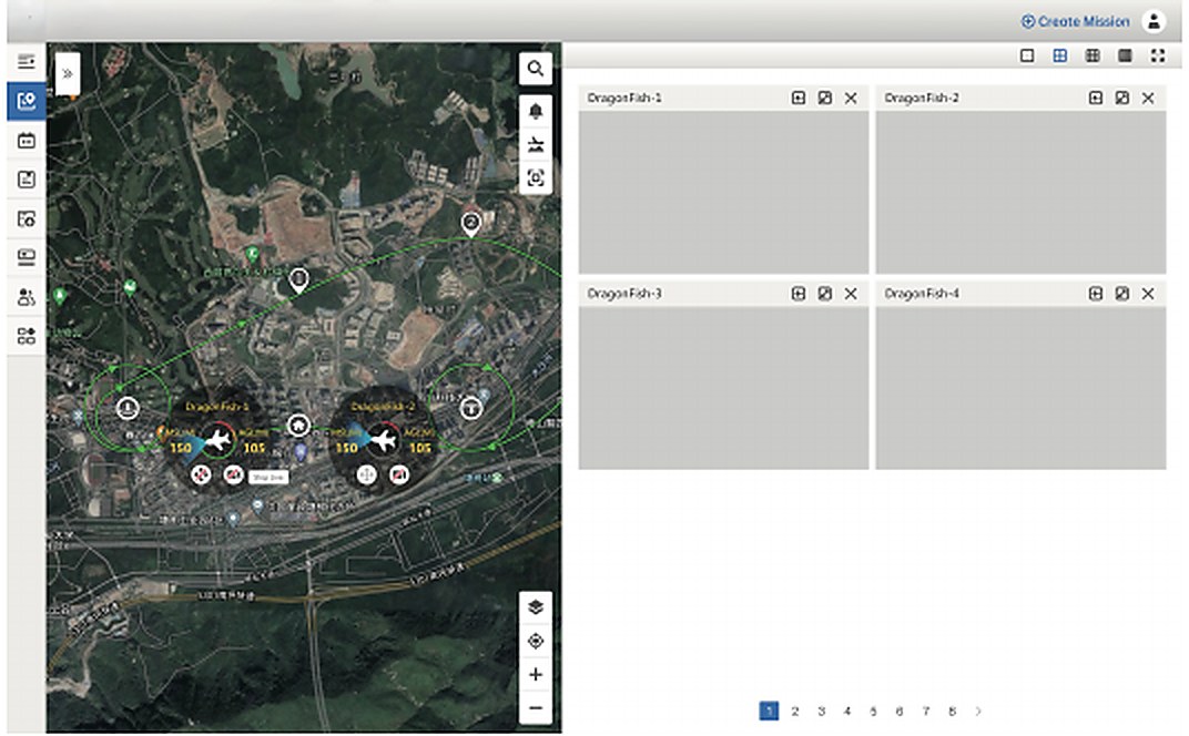
Mission planning, scheduling, fleet status, live operational maps and controlled coordination.
EXPLORE COMMAND →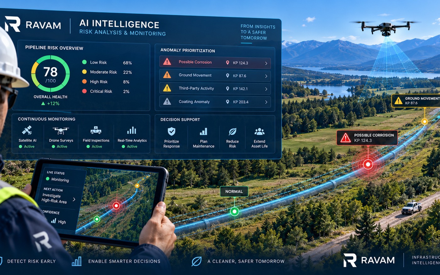
GIS context, digital-twin records, sensor fusion, change detection and governed analytics.
EXPLORE PLATFORM →No single payload establishes pipeline integrity. Each sensor contributes a defined observation that can be correlated with records, other measurements and direct verification.
Document access, vegetation, erosion, construction, encroachment and visible surface change.
Identify temperature patterns that may justify closer review under appropriate environmental conditions.
Collect localized gas-concentration measurements with altitude, wind and sensor limitations documented.
Georeference observations and support repeatable mission geometry where satellite reception permits.
Apply magnetometry, GPR or other suitable methods only where site conditions and the integrity question support them.
Record wind, temperature, precipitation and other factors needed to interpret field observations.
The workflow can support routine operations and event response without bypassing the operator's approved safety and integrity procedures.
Collect scheduled or trigger-based corridor observations.
Combine location, records, sensor data, weather and operational context.
Assign evidence confidence and operator-defined urgency.
Deploy the appropriate aerial, ground or direct examination method.
Support the authorized response and preserve the decision history.
RAVAM can exchange approved data with GIS, SCADA, CMMS, ERP and document systems through controlled interfaces and operator-defined permissions.

Phase 1 establishes actual route, access, signal conditions and priority areas. Those findings determine where persistent monitoring, communications and NEST infrastructure create measurable operational value.
Build the corridor, anomaly and verification baseline that informs the monitoring design.
Select patrol frequency, payloads, communication paths, stations and operator interfaces by risk and terrain.
Validate workflows, train responsible teams and refine monitoring using verified outcomes.
Start with the operator's risks, operating procedures, available systems and the evidence produced in Phase 1.