
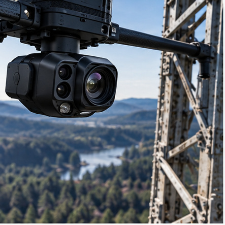
 RGB / ZOOM CAMERASHigh-resolution visual acquisition for mapping, inspection and situational awareness.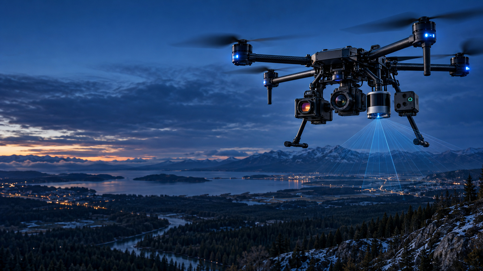
SEE MORE. KNOW MORE. DO MORE.
SENSORS & PAYLOADS
Multi-sensor intelligence for any environment.
RAVAM integrates mission-selected sensors and payloads from global technology partners, combining air, ground and field data into one intelligence architecture. We do not depend on one sensor manufacturer—the mission defines the sensing stack.
EXPLORE SENSOR CATEGORIES →PAYLOAD CATEGORIES
Choose the Sensor Around the Mission.
Optical, thermal, spatial, spectral, atmospheric and mission-specific payloads can be combined according to the operational question.
RGB / ZOOM CAMERASHigh-resolution visual acquisition for mapping, inspection and situational awareness.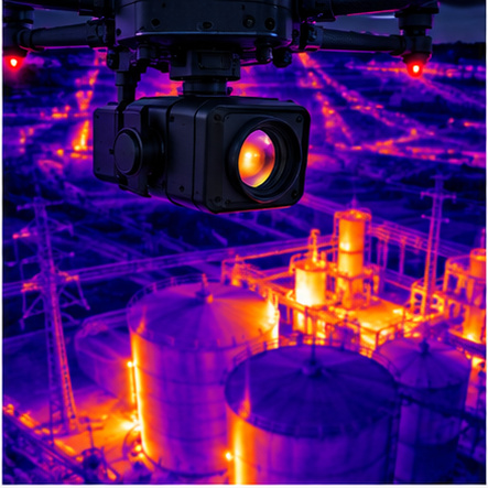 THERMAL CAMERASIdentify heat patterns supporting fire, infrastructure and industrial inspection workflows.
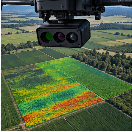 MULTISPECTRAL SENSORSCapture selected spectral bands for vegetation, agriculture and environmental analysis.
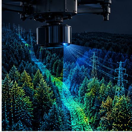 LiDAR3D point-cloud acquisition for terrain, vegetation, structures and corridor modeling.
 GAS DETECTION SENSORSIntegrate mission-appropriate gas sensing for environmental, industrial and safety applications.
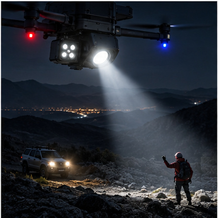 SEARCHLIGHT & SIGNALINGMission payloads for low-light operations, response support and field visibility.
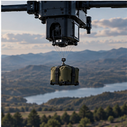 PAYLOAD DELIVERY MODULESMission-specific delivery systems where the selected platform and operation permit.
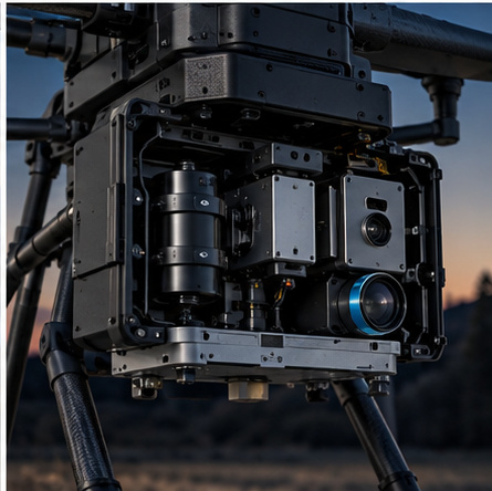 CUSTOM INTEGRATIONIntegrate compatible third-party or mission-specific payloads without claiming in-house sensor manufacture.
GEOPHYSICAL SENSORS
Understand What Lies Beneath.
RAVAM integrates geophysical instruments from specialized technology providers and fuses their outputs with geospatial, aerial and contextual data.
 MAGNETOMETERSMeasure magnetic-field variations for buried steel infrastructure, geological structures and exploration workflows.
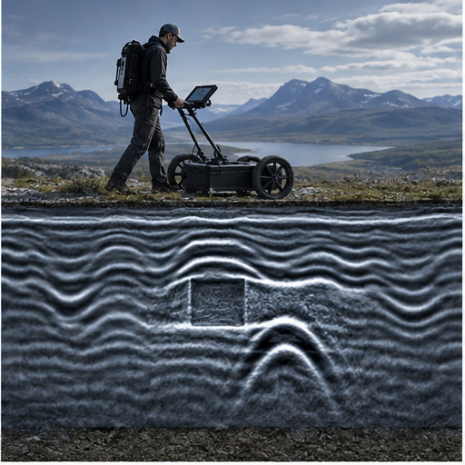 GROUND PENETRATING RADAR (GPR)Map subsurface structures and utilities where ground conditions, frequency and deployment method are suitable.
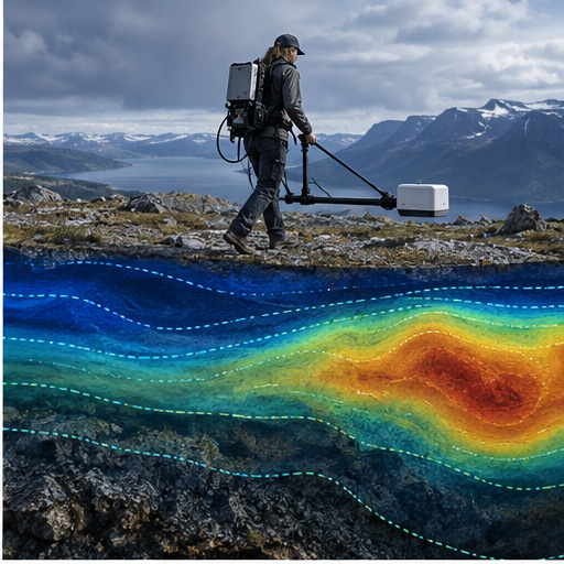 ELECTROMAGNETIC (EM) SENSORSMeasure conductivity and electromagnetic response for geological, groundwater and infrastructure applications.
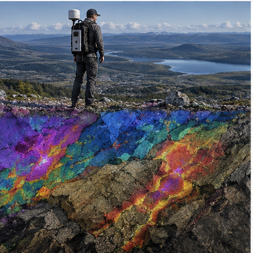 RADIOMETRIC SENSORSMeasure natural gamma radiation to support geological mapping and mineral exploration.
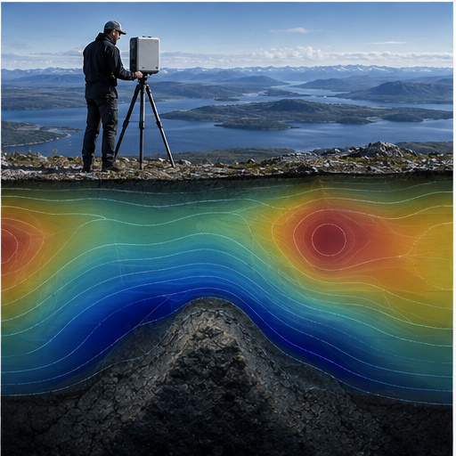 GRAVITY / GRAVIMETRIC SENSORSSupport geological and resource interpretation by measuring small variations in the gravity field.
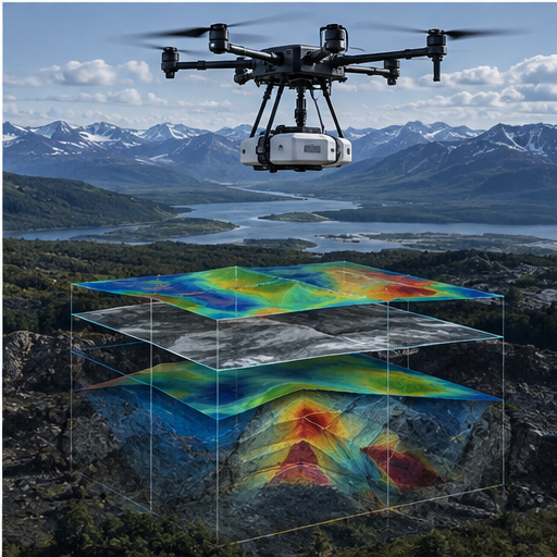 CUSTOM GEOPHYSICAL INTEGRATIONIntegrate suitable third-party instruments into mission-specific acquisition and sensor-fusion workflows.
Signal ≠ diagnosis.Sensor observations and anomalies support interpretation and prioritization. Confirmation may require additional methods, field verification, sampling, direct examination or professional assessment.
SENSOR-FUSION WORKFLOW
01QUESTIONDefine what the mission needs to understand
→
02SELECTChoose the appropriate sensor stack
→
03ACQUIRECollect synchronized field observations
→
04FUSECombine sensor, geospatial and contextual data
→
05INTERPRETConvert observations into structured intelligence
REAL-WORLD APPLICATIONS
One Sensor Architecture. Multiple Missions.
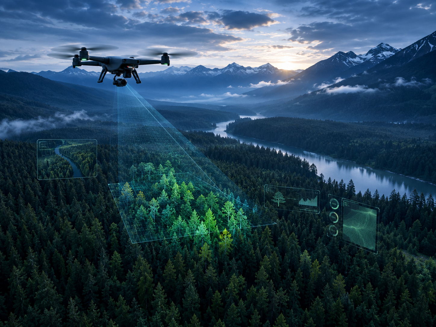 FOREST MONITORING
 INFRASTRUCTURE INSPECTION
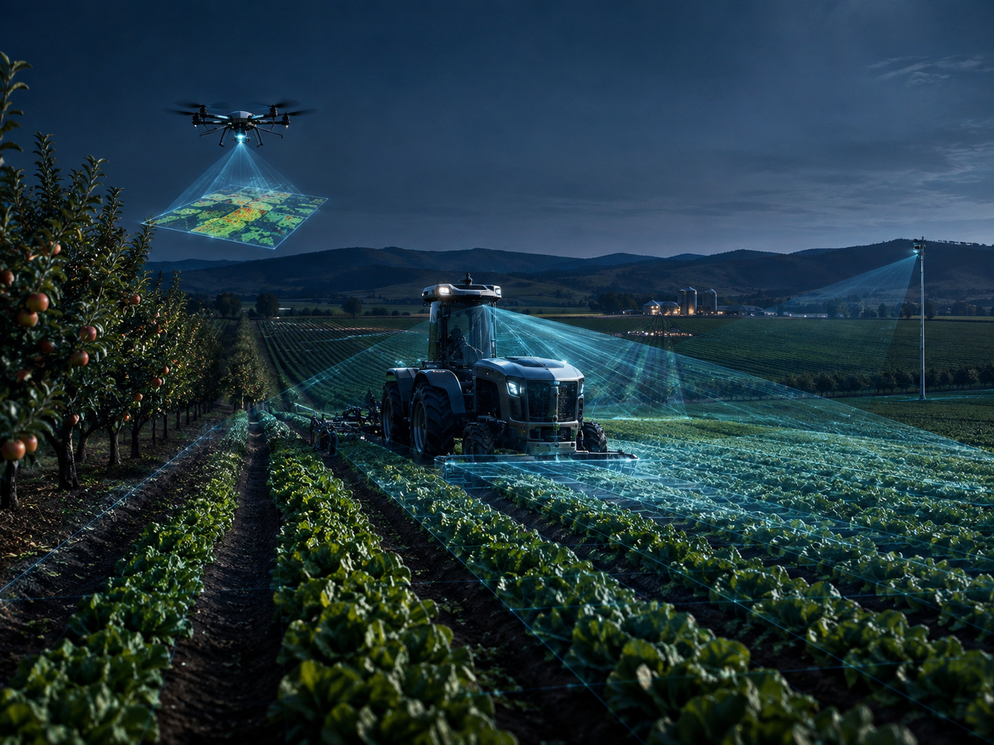 AGRICULTURE
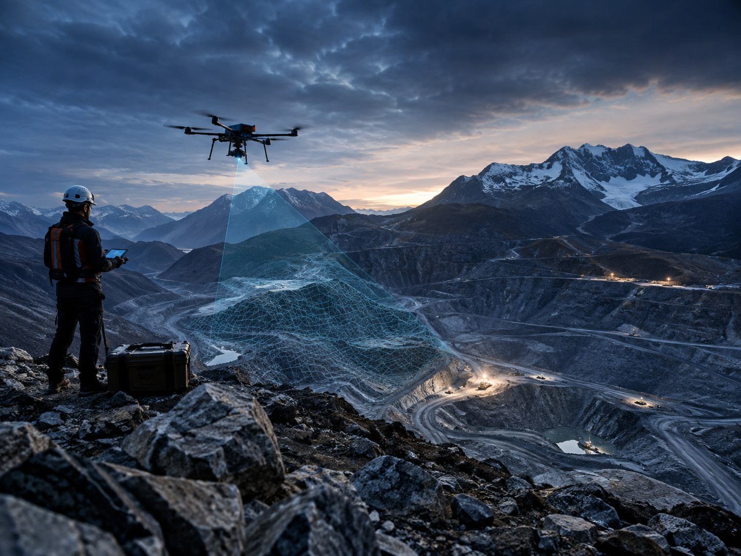 MINING & EXPLORATION
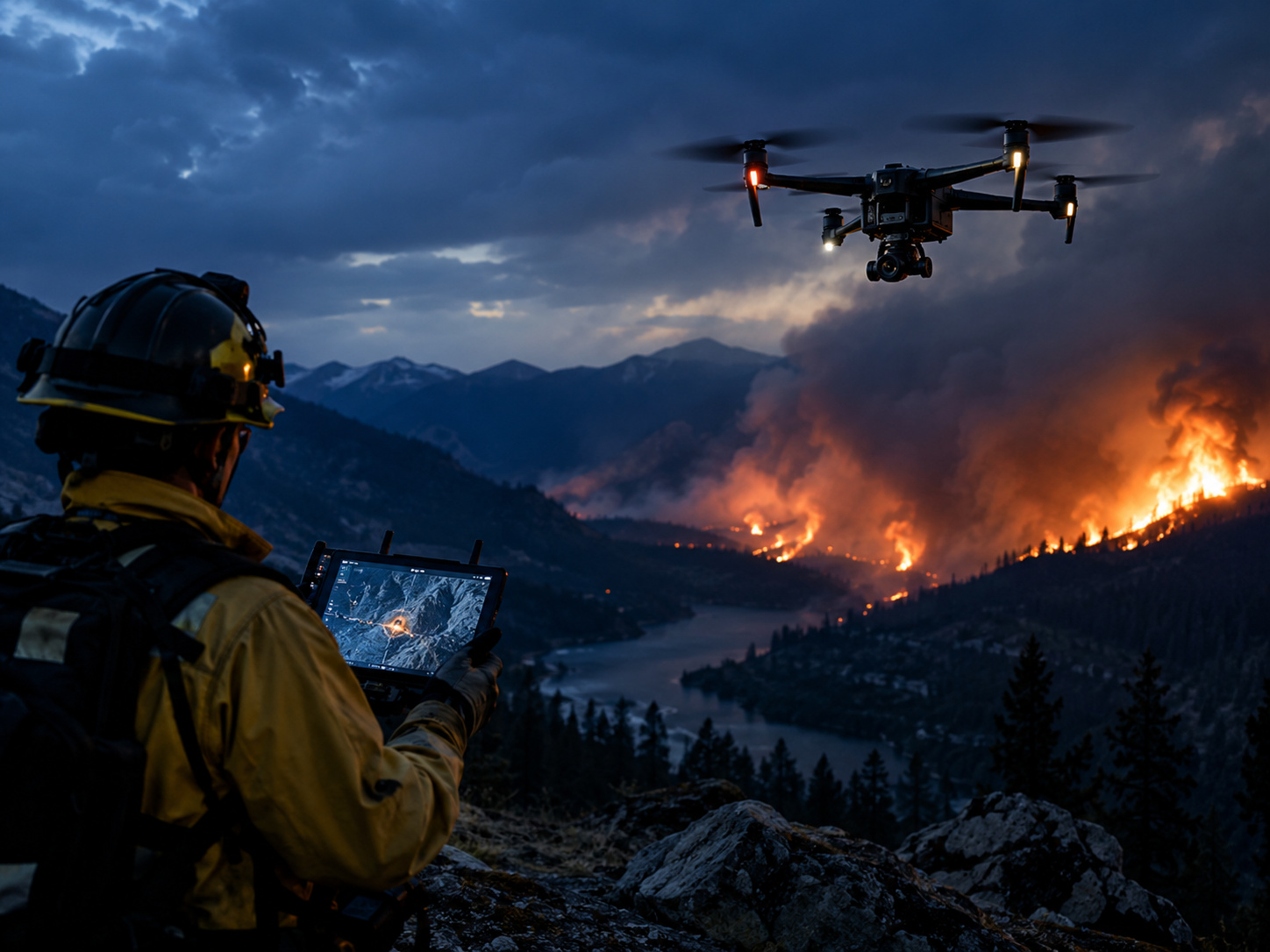 DISASTER RESPONSE
 ENVIRONMENTAL MONITORING
 URBAN & STRATEGIC ASSETS
POWERED BY MULTI-SENSOR FUSION
Integrated With the RAVAM Ecosystem.
Sensor data can enter the RAVAM architecture from AIR, GROUND, NEST, fixed stations, satellite sources or other compatible systems.
RAVAM AIR™Collect
→
SENSORS & PAYLOADSMulti-domain data
→
RAVAM NEST™Process & transmit
→
RAVAM GROUND™Inspect & support
→
RAVAM AI PLATFORM™Fuse & interpret
RAVAM selects and integrates sensors according to mission needs, compatibility, regulatory constraints and operating conditions. Specific sensor performance remains dependent on the selected manufacturer, platform, environment and deployment method.
SENSORS & PAYLOADS