Autonomous Intelligence for Critical Infrastructure
Reduce inspection costs by 70% with AI-powered drones and ground robots that detect, predict, and prevent infrastructure failures before they impact operations.
Industrial IoT solutions
Autonomous Platform Based on Artificial Intelligence
RAVAM is an IIoT company built upon three core technological pillars. We connect industrial systems and data streams, harnessing autonomous drones and robots integrated with multi-sensor suites for real-time operational analytics.
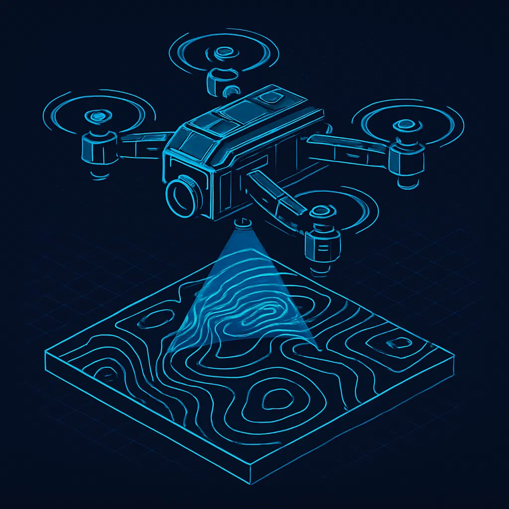
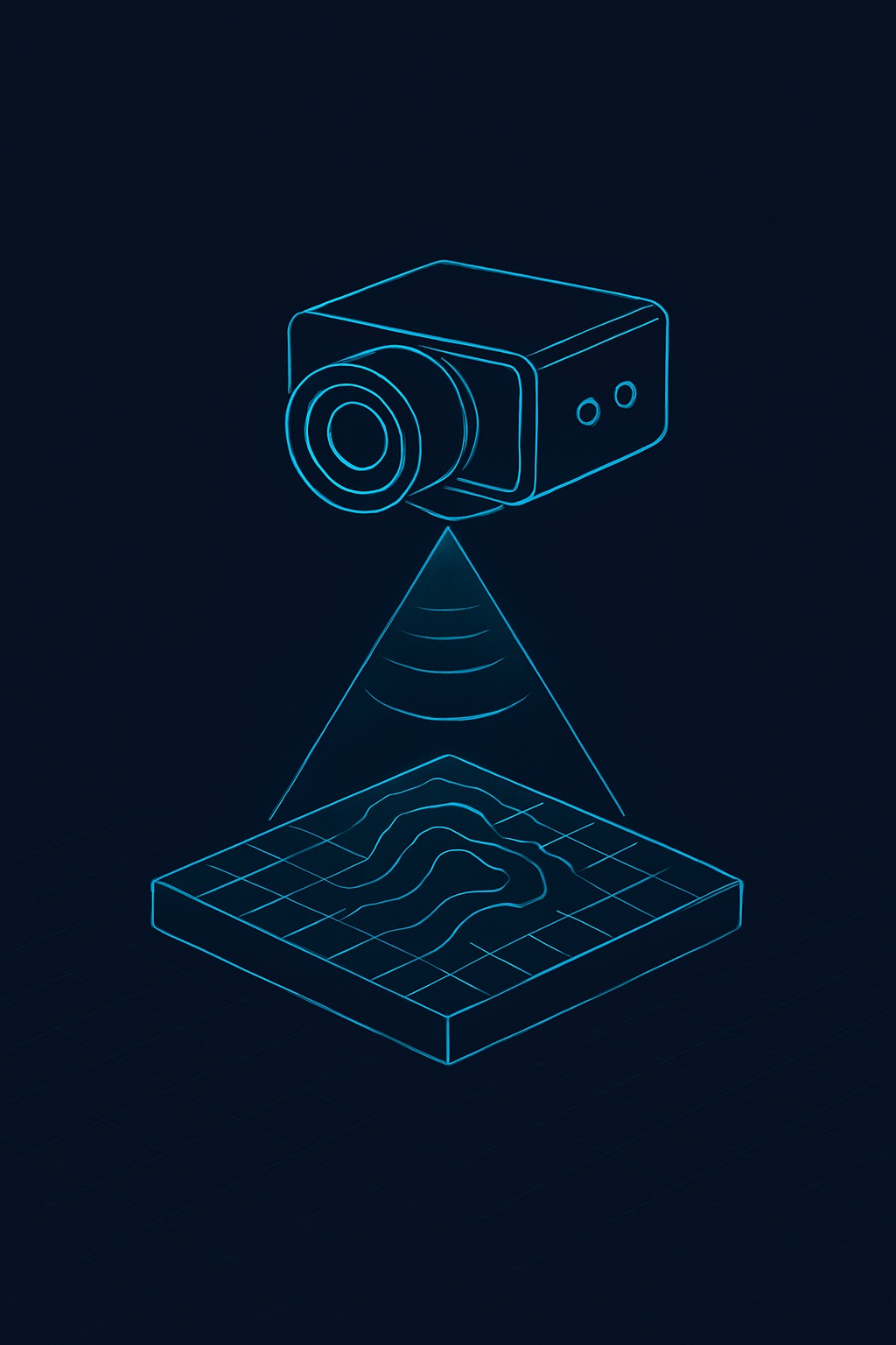
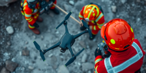
Drone & Robotics
Advanced autonomous UAV systems with multi-sensor integration for comprehensive infrastructure monitoring
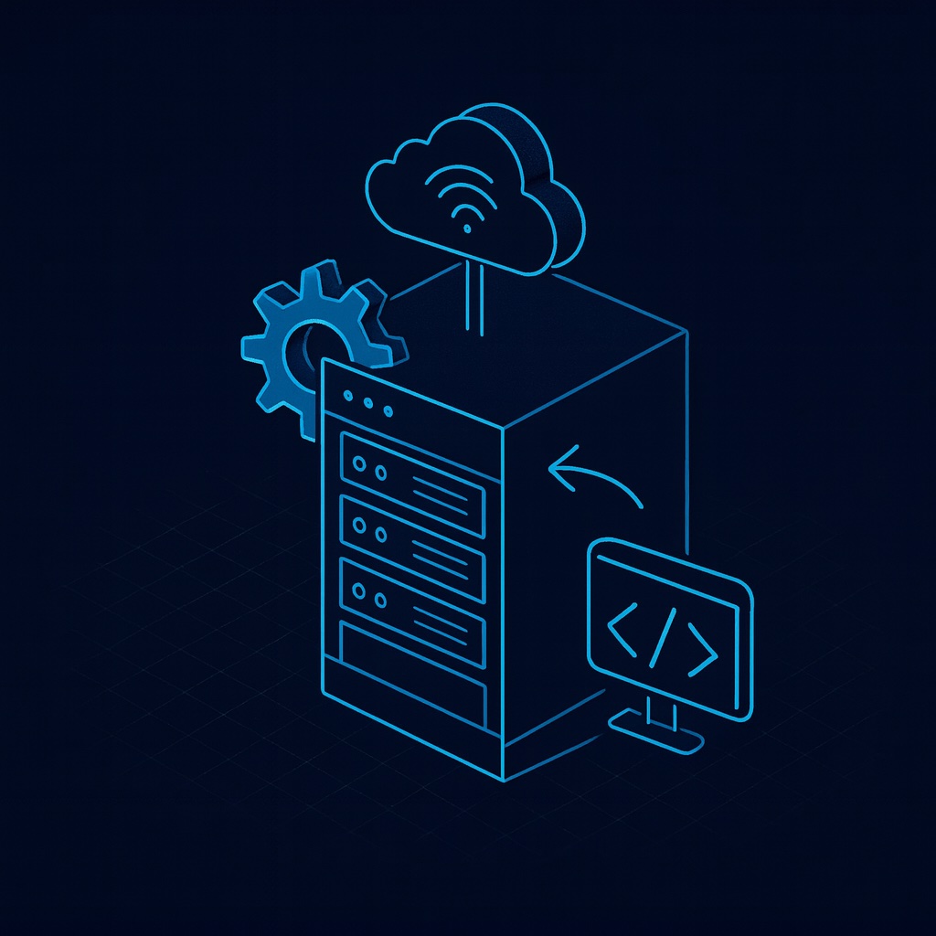
Data Center
High-performance cloud infrastructure for real-time data processing and secure storage

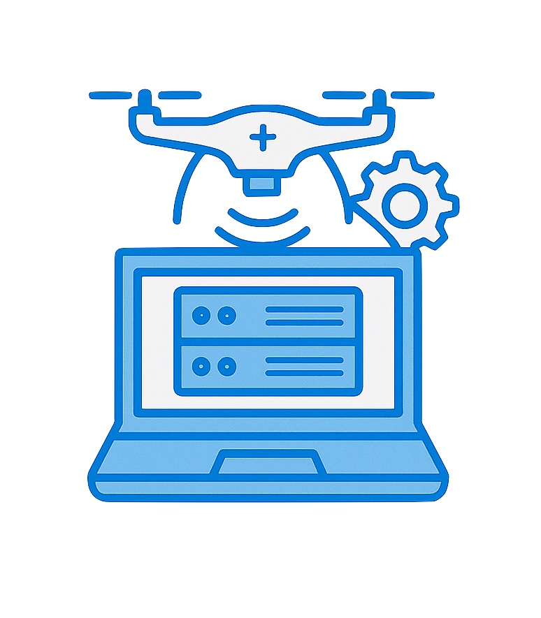
Advanced Data Fusion, Analytics & AI
AI-powered analytics engine for predictive maintenance and intelligent decision-making. RAVAM Robotics transforms multi-sensor data into actionable insights with 95%+ accuracy.
Our Mission
To revolutionize infrastructure management by deploying autonomous intelligence systems that detect, predict, and prevent failures before they occur. We empower organizations to transform from costly reactive repairs to predictive intelligence that prevents 85% of failures, reducing costs, improving safety, and extending asset lifecycle through real-time, AI-powered insights delivered by autonomous platforms.
Solutions
Autonomous AI Drone Systems for Infrastructure Monitoring & Exploration
RAVAM delivers comprehensive solutions for infrastructure monitoring and autonomous exploration, powered by advanced AI and multi-sensor fusion.
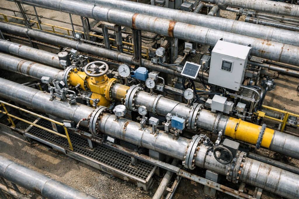
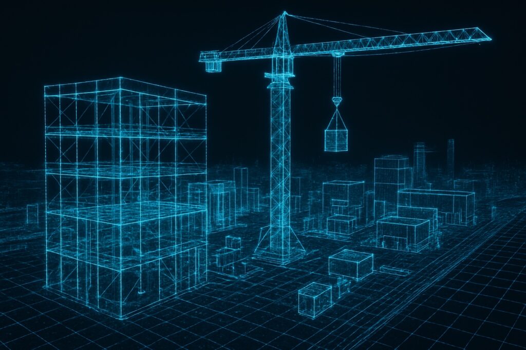
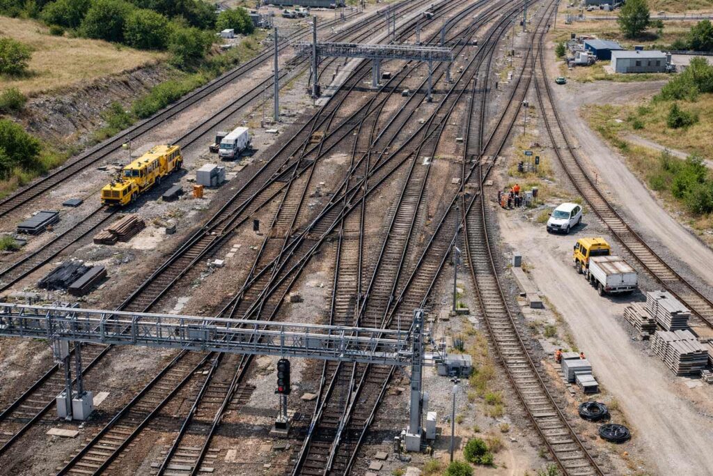
Infrastructure Monitoring
Continuous autonomous surveillance of critical infrastructure with real-time anomaly detection, predictive maintenance, and automated response powered by RAVAM Robotics.
KEY CAPABILITIES
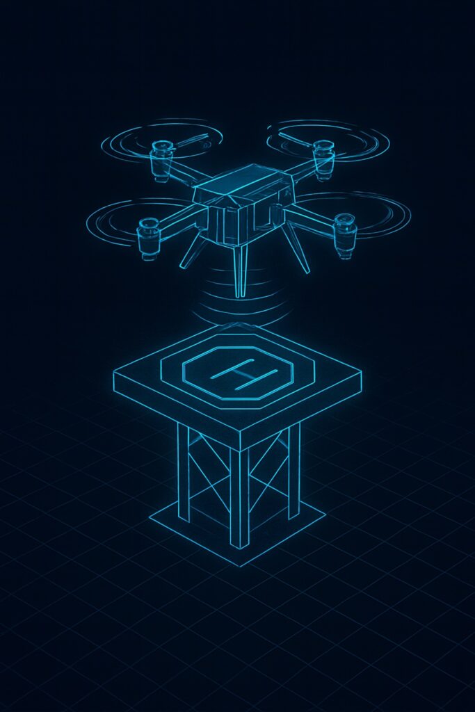
- ✓ 24/7 autonomous patrol from drone nests
- ✓ Multi-sensor anomaly detection (<5 sec)
- ✓ Predictive failure modeling (weeks advance)
- ✓ Automated inspection dispatch
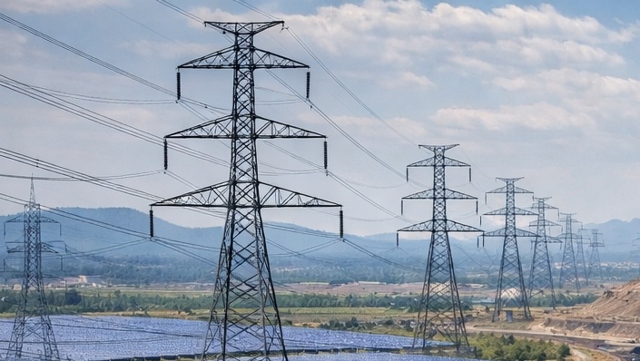
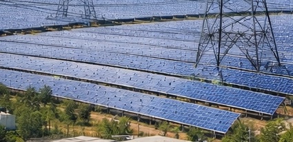
Active Deployments: Gas Pipelines • Solar Farms • Power Lines • Railways
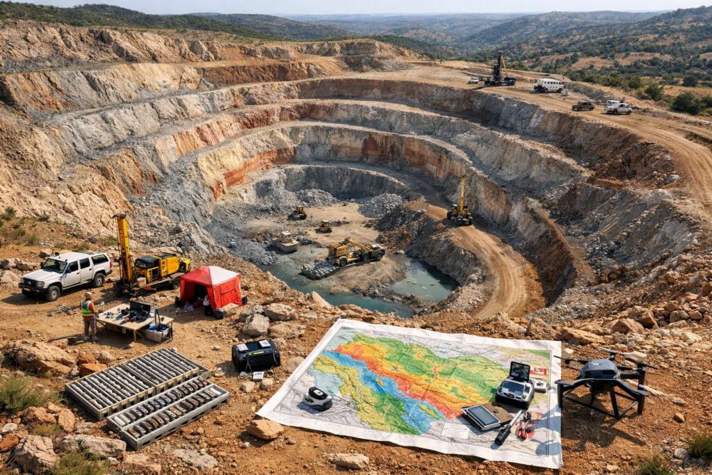
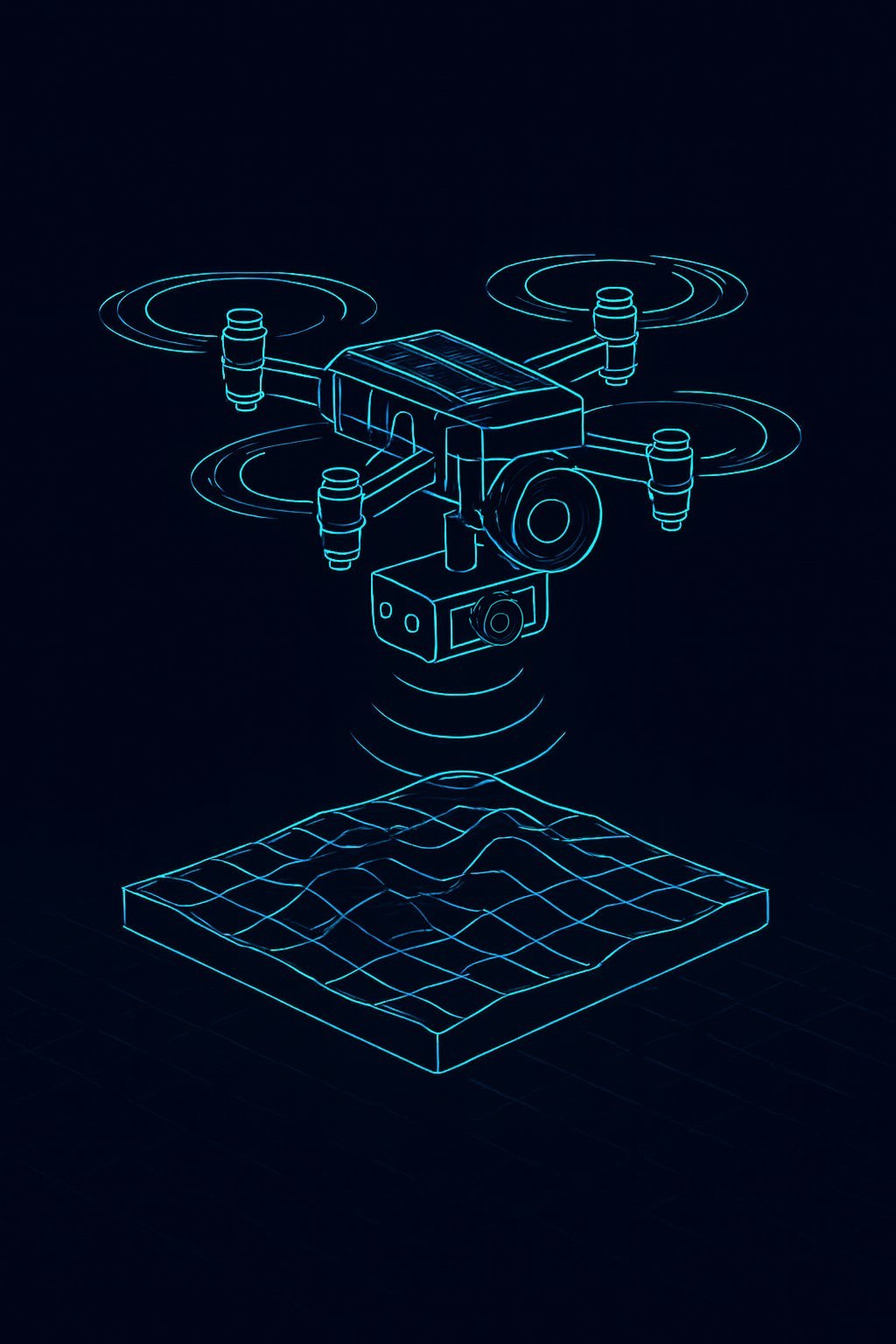
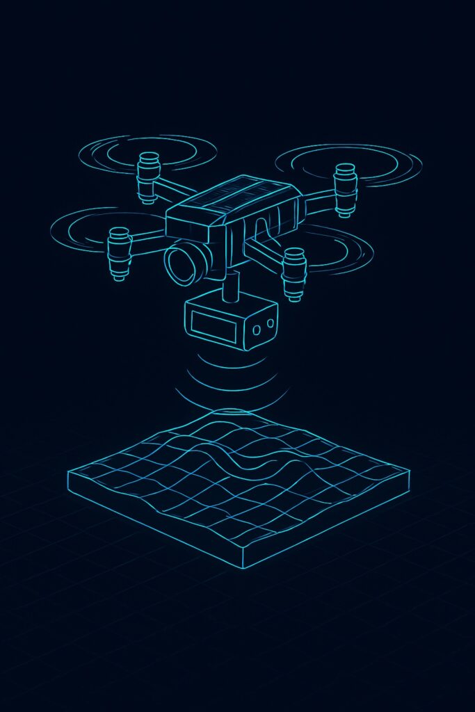
Exploration
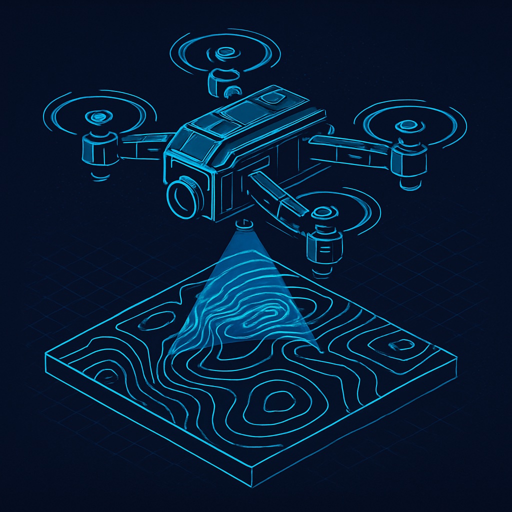
Advanced geophysical surveys for mineral deposits, underground infrastructure, and geological mapping with AI-powered data fusion and 3D subsurface modeling by RAVAM Robotics.
KEY CAPABILITIES
- ✓ Multi-sensor geological surveys (12+ sensors)
- ✓ Deep subsurface penetration (300m+ with TEM)
- ✓ 3D geological modeling & visualization
- ✓ Mineral deposit identification & mapping
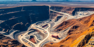
Applications: Mineral Exploration • Underground Mapping • Geological Surveys
Autonomous SHORT-RANGE Monitoring Station
Technology
Technology Stack
RAVAM is dedicated to pioneering quality and innovation, delivering exceptional value through its commitment to unique solutions and forward-thinking approaches.
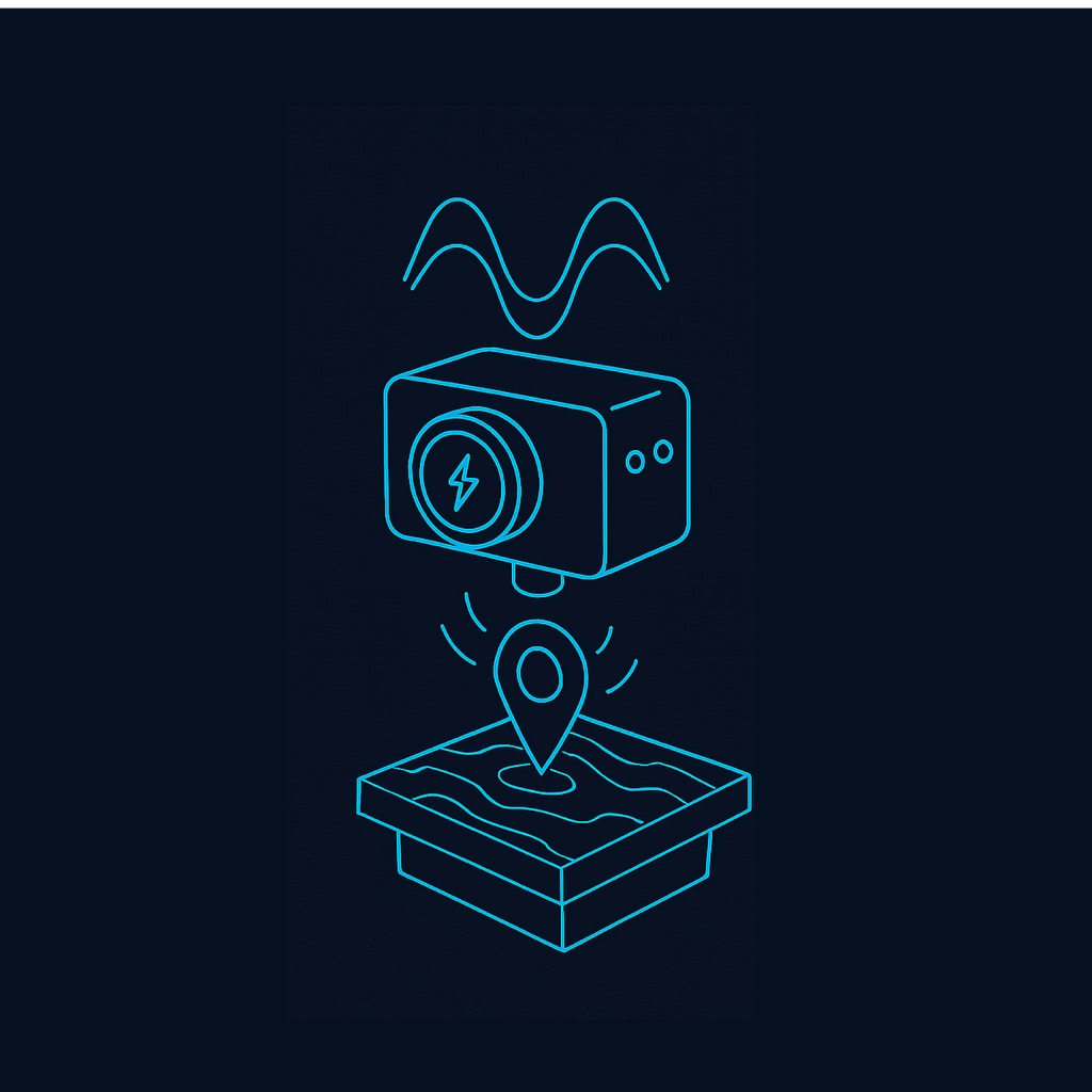
Autonomous Flight Management
AI-powered navigation and mission planning system enabling fully autonomous drone operations with intelligent coordination, obstacle avoidance, and real-time adaptation.
Core Capabilities
- Complete site coverage in hours instead of weeks with autonomous drone coordination
- AI-powered flight path optimization
- Automatic mission planning from site parameters
- Real-time obstacle avoidance & collision prevention
- Autonomous nest operations (takeoff, landing, charging)
- Intelligent battery management & auto-return
- Weather-adaptive routing & fail-safe protocols
- Swarm intelligence for coordinated surveillance for coordinated surveys
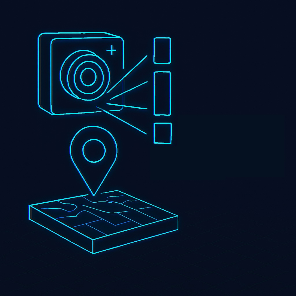
Digital-twinning, Mapping and Advanced Analytics
AI-powered Geo-spatial processing platform for multi-sensor data fusion, real-time analysis, and 3D subsurface visualization. Creating a unified above and below ground digital-twin.
Core Capabilities
- Real-time multi-sensor data fusion (12+ sensors)
- Automatic 3D subsurface modeling & visualization
- AI-powered anomaly detection & classification
- Multi-spectral & hyperspectral analysis
- GIS integration (ArcGIS, QGIS export)
- Cloud & on-premise deployment options
- Custom dashboards & automated reporting
- API access for third-party integration
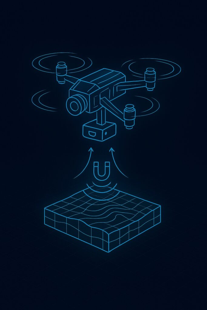
Modular UAV Platforms
We engineer adaptable drone systems designed for diverse mission requirements. Our platforms feature fully interchangeable sensor payloads, allowing you to configure the perfect solution for surface, subsurface, or rapid-response operations.
Autonomous Monitoring & Mapping Systems
For continuous, wide-area surveillance and high-detail surface analysis. Both systems feature intelligent autonomous BVLOS navigation, RTK positioning, and multi-spectral sensors (RGB, Thermal, Night Vision).
Subsurface & Geophysics Survey Systems
Engineered to carry heavy, specialized payloads for geological and utility mapping.
Total System Flexibility
Multiple Interchangeable Sensor Modules
Mix and match to create the exact payload you need.
Autonomous Nest Integration
Enables fully automated, 24/7 operations with remote data offloading.
Custom Payload Configuration
We specialize in designing and integrating bespoke sensor suites for unique challenges.
Deployment
Flexible Deployment Models
Start small with one site or scale globally—our flexible deployment adapts as you grow—from complete turnkey systems to software-only licensing.

Managed Service
We deploy, operate, and maintain the entire system. You receive data and insights.
Include:Full Operations • 24/7 Monitoring
Software License Only
Use our navigation & mapping platform with your existing drone infrastructure.
Include: Analytics • GIS digital twin management • AI algorithms training

Custom Integration
Tailored solutions integrating with your existing infrastructure and workflows.
Include: API Integration • Custom Development
Data Architecture
Multi-Tier Data Collection Architecture
Choose the solution that fits your organization’s needs—from complete turnkey systems to software-only licensing.
Tier 1: Terrestrial & Geospatial Data
Surface-level intelligence for above-ground infrastructure assessment and environmental monitoring.
- RGB Photography & Thermal Imaging
- LiDAR & 3D Point Cloud Generation
- Multi-Spectral & Hyperspectral Analysis
- High-Resolution Orthomosaics
- RTK Positioning (cm-level accuracy)
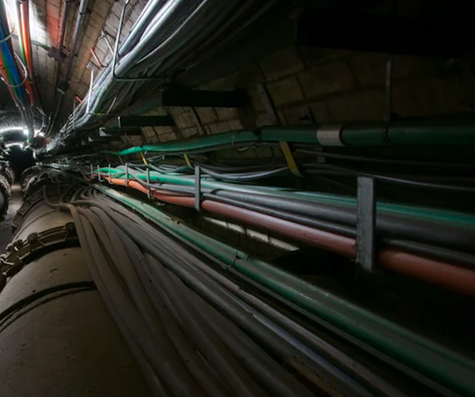
Tier 2: Subsurface & Geophysical Data
Deep-penetration sensing for underground infrastructure, mineral deposits, and geological characterization.
- Ground Penetrating Radar (GPR)
- Electromagnetic Surveys (TEM, EM31)
- Magnetic Gradiometry & Magnetometry
- Gravity Surveys & Density Mapping
- Induced Polarization (IP) & Resistivity
Sensor Fusion
Comprehensive Sensor Suite
RAVAM integrates multiple specialized sensors providing comprehensive above and below-ground intelligence for infrastructure monitoring and geological exploration.
Visual
RGB Camera
High-resolution color imagery for visual inspection and documentation
Subsurface
GPR
Ground penetrating radar for underground utility detection
Thermal
Thermal Imager
Infrared detection for temperature anomalies and heat signatures

Electromagnetic
EM Sensor
Electromagnetic induction for conductivity mapping

Magnetic
Magnetometer
Magnetic field measurement for ferrous object detection
Spectral
Multispectral Sensor
Multi-band imaging for vegetation health and material classification
Resistivity
IP Sensor
Induced polarization for subsurface mineral and water detection
System Architecture
Closed-Loop Intelligence Platform
RAVAM’s closed-loop architecture enables autonomous detection, analysis, and response to infrastructure anomalies in real-time.
Autonomous Deployment
Drones autonomously launch from nests and execute pre-programmed or AI-optimized flight paths.
Real-Time Data Collection
Multi-sensor payloads collect comprehensive data across 12+ sensor types simultaneously.
AI-Powered Analysis
RAVAM Robotics AI engine processes data, detects anomalies, and generates predictive insights.
Automated Response
System triggers alerts, dispatches maintenance teams, or initiates corrective actions automatically.
AI that doesn’t just detect—it predicts, decides
RAVAM Robotics AI Intelligence Engine
AI that doesn’t just detect—it predicts, decides, and enables autonomous action. Our RAVAM Robotics AI engine transforms multi-sensor data into predictive intelligence.
Real-Time Inference
Instant threat identification through continuous sensor fusion and pattern recognition.

Predictive Models
See failures before they happen through historical pattern analysis and real-time monitoring.

Multi-Sensor Fusion
Cross-reference data from multiple sources to eliminate false positives and achieve maximum accuracy.
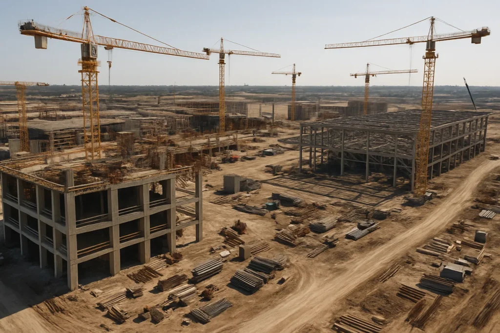
Industries
Industries Solution
RAVAM’s autonomous intelligence platform serves critical infrastructure operators across multiple industries.


Enterprise Features
Enterprise-Grade Security & Compliance
Discover what sets RAVAM apart through quality craftsmanship and cutting-edge solutions tailored to your needs.
🔒
Enterprise Security
Instant threat identification through continuous sensor fusion and pattern recognition.
⚡
Scalable Infrastructure
From single sites to global operations with 99.9% uptime SLA
🤝
24/7 Support
Dedicated support team with rapid response times and ongoing assistance